
 |
| Jimmy climbing the bank to the watch from the parking area. |
N35*, 19' 25.4"; W85*, 9', 42.6"
Elevation 1400 ft.
From Downtown Chattanooga:
We are 30 minutes from the Tennessee Aquarium in downtown Chattanooga.
Take Hwy. 27N into Soddy Daisy, where, after crossing Soddy Lake causeway (water on both sides of the road), take the left split. The left 2 lanes will take you onto Hwy. 111, toward Dunlap, up the steep grade to the first exit - Jones Gap Rd. At the end of the exit ramp, turn left and go across the bridge. *On Jones Gap, proceed exactly 2 miles to where, in order to continue on Jones Gap Road, you will make a left turn, and the road you were on will become Burchard Rd., which will continue around to the right.

In other words, you will take the 4th left turn from the freeway, which will be at the intersection of Jones Gap Rd and Burchard Rd. Jones Gap was once the road which went down the mountain, but now culminates to a dead end.This is what we consider our hawk watch parking lot. Climb the bank on the left of the dead end to reach the watch area.
If coming from: the East Ridge, Cleveland, Hamilton Place, or East Brainerd sides of town, cross from Interstate 75 to Hwy.27 N. by way of Hwy.153 W.
From the Dayton, Birchwood, Salecreek area, or all points north of Soddy Daisy, take Hwy. 27S to Hwy.111. Right lane takes you onto 111, before you can see Soddy causeway clearly in the distance.
(From Dunlap, follow Hwy. 111 to the Jones Gap Rd. exit. Exit right and turn right. Once on Jones Gap follow Jones Gap 2 miles to Burchard Rd. Turn left, onto Jones Gap Rd Dead end.*)
Note: When on Hwy.111, driving up the mountain, near the half-way point, you will drive under power lines. Looking left, up the bluff, (where the power pole stands), you can see the area where the hawk watch is located.

Click on the picture to enlarge the view.
___________________________________________________________________________
Visual directions:
From Hwy 111, as you drive the steep incline, you will notice a place where the power lines cross the Highway. At the crest of the ridge on your left, is a rocky face where the power lines ascend to a pole. Following the ridge along that rock face from rt to lft, in the picture below, is the place where the Hawk Watch viewing area will be.

You will take the first exit ramp off Hwy 111.
Note a sign will give you plenty of time to recognize
JONES GAP ROAD:


At the top of the exit ramp you will see the Truck Stop on the right. It changes ownership from time to time. So this picture might not represent it's actual name, but you must turn away from it, to the LEFT and cross over the highway.

(To get back on the highway going home, note that the ramp simply is a right turn off Jones Gap before crossing the overpass.. Jimmy often advises that you make note of how to go home when going anywhere. It has served me well in helping me not get lost on trips. Out of town visitors might love this bit of info.
You will follow Jones Gap Road through a series of country home properties, and then through some sharp curves. So be prepared to take them carefully, watching for deer or wild turkey that may be crossing the road at any point. Soon after exiting the curves, you will see large rocks blocking an entrance into a property used for hunting. Then, immediately see this home on the left, as the road curves back to the right. Be prepared to MAKE A LEFT TURN before this home.

In case you haven't noticed, (if you are coming from the Soddy Daisy side, E to W up the mountain) you have merged left to get onto Hwy 111, you have exited right at the Jones Gap Rd ramp, but will turn left at the stop. You have followed Jones Gap "til you reach this house and are once again making a left. So except for the ramp, all your turns are left turns.
To understand this turn, you should understand that at one time the road actually continued toward the left, which was and is still Jones Gap Road. Years ago, Jones Gap is the road which went down the mountain, not 111. What is now a continuation of the road, from this point on, is actually Burchard Road. Before they repaved it as one continuous road, making Jones Gap be a left turn, Burchard was a right fork off Jones Gap. Jones Gap was continuous. So now, you will be staying on Jones Gap, but in order to do that, you must turn left in front of this house. *The directions at the top of the page show this very clearly.
Be warned that Jones Gap now goes only a short distance before it Dead Ends!

Only one more house that overlooks Soddy Daisy will be at the dead end. This family appreciates birders who will be responsible, when parking, and cleaning up after themselves. Because, other visitors to the site aren't always so considerate.
Did you see the telephone pole? This is the one we noted from Highway 111 below. It stands exactly on the rocky face of the ridge which runs along 111, and faces North. Once you pass the pole, turn your car facing outbound, and park on either side of the road. Leaving room for others who might come to turn around at the end. We seldom get stuck parking off the road. There is a firm gravel bed.
 |
| Parking- from this angle you can see that the road used to go down this embankment, but now ends at a drive which used to go up to private property. Turn around here before parking. It might otherwise be difficult later in the day. Over this bank you can see Soddy Lake and the Nuclear Power Plant. |
 |
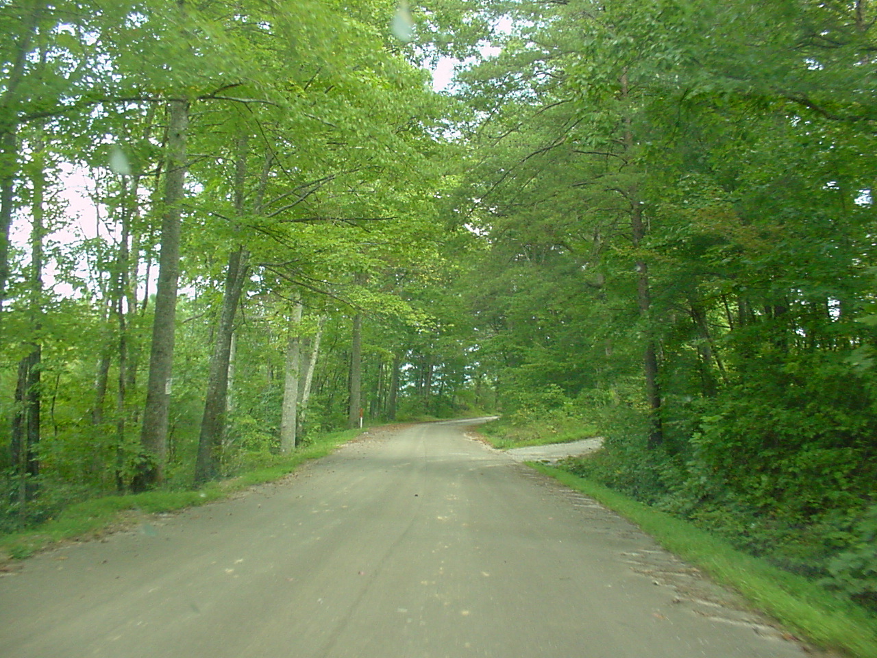
| This bank will be on your left at the end of the road, it is the entrance to our Hawk Watch. You must carry chairs and food, etc. up this hill.      To the left is the Phone Pole, and further left is the parking area below. You can also see the private home on the other side of the parking area. |
The area is far more overgrown now (2016) than when these pictures were taken. In fact, it is becoming more difficult each year to trim it back for good views of birds passing between us and that north ridge. We all set up chairs on this sandy area. Some have brought easy-up tents. It will easily hold 20 to 40 folding chairs. Come prepared with food and water, if you will stay several hours. We have recently made a chipwood path to a camp style restroom area which we maintain and clean during the season. It is down during other times.
Mid to late September is the most often manned time to come. Pictures can be taken of migrating hawks, but only with great patience and a lot of luck. Most birds are generally too high, and require binoculars to see. Even kettles of hawks are difficult to capture.
No comments:
Post a Comment